Combating Weather Claim Fraud in Florida: Forensic Meteorology That Stands Up in Court
By John Bryant, The Weather and Climate Expert · August 15, 2025
TL;DR: Forensic meteorology in Florida uses official NOAA, NWS, and NCEI data to confirm or dispute weather-related insurance claims with court-ready documentation.
Summary
Florida’s exposure to hurricanes, tropical storms, hail, and flooding makes weather-related claims common—and occasionally fraudulent. This guide explains how to verify claims using official meteorological data and defensible forensic methods that hold up with carriers, counsel, and courts.
On This Page
- Core Principles of Forensic Verification
- Step-by-Step Method
- Illustrative Case Examples
- Common Red Flags
- FAQ
- Conclusion
Core Principles of Forensic Verification
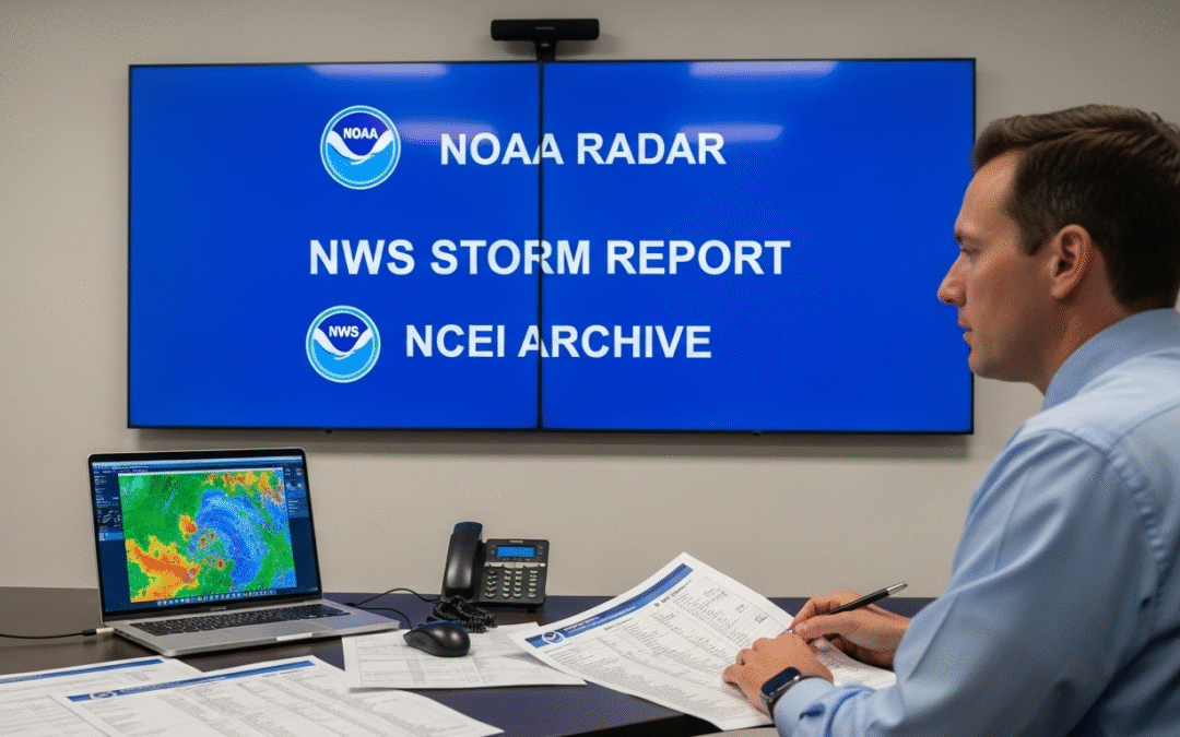
- Use official sources: NOAA, NWS, NCEI, SPC reports, and WSR-88D radar archives.
- Time discipline: Convert all times to local and UTC; note daylight saving changes.
- Spatial precision: Pin to parcel-level location; document distance from storm tracks and hail/wind cores.
- Transparency: Write methods so a peer can reproduce the result.
- Chain-of-custody: Preserve originals, hashes, and tool versions for exhibits.
Step-by-Step Method
- Define Claim Parameters: Policy address, GPS coordinates, asserted date/time window, and alleged peril (wind, hail, flood).
- Assemble Official Data: Retrieve radar volumes, Local Storm Reports, storm summaries, METARs, and event narratives for the window.
- Normalize Time: Record local time and UTC for every artifact (photos, video, device logs).
- Spatial Analysis: Map property vs. storm path, max reflectivity cores, rotation/wind signatures, hail size swaths, and QPE for rain/flooding.
- Media & Document Forensics: Inspect EXIF, lens/shadow direction, weather consistency, file lineage, and edits.
- Consistency Check: Compare alleged damage mechanism with observed meteorology (e.g., denting vs. reported hail size).
- Findings & Confidence: State what happened, where, when, and the confidence level, citing each dataset used.
- Documentation Package: Archive sources, figures, time conversions, and produce a report with labeled exhibits.
Illustrative Case Examples
- Major Hurricane Landfall: Property 12 miles inland claimed roof uplift. Radar and wind analyses confirmed sustained damaging winds during the alleged window; damage pattern consistent with uplift and wind-driven rain.
- Isolated Hail Event: Claim cited 2.5” hail. Nearest max swath indicated ≤1.25” at the parcel; dent morphology and lack of collateral signals suggested post-event impacts.
- Flooding Dispute: Alleged flash flood damage outside a heavy-rain footprint. QPE and hydrographs showed insufficient totals and a timing mismatch.
Common Red Flags
- Mismatched timestamps between media and official observations.
- Storm track beyond the plausible impact radius for the parcel.
- Damage inconsistent with observed hail size or wind magnitude/direction.
- Repeated patterns across multiple claims tied to the same contractor cluster.
- Selective media that omits expected collateral indicators.
FAQ
What are the best starting datasets?
Local Storm Reports, WSR-88D radar volumes, storm summaries, METARs, and NCEI event records for the claim window.
How precise should the location be?
Parcel-level coordinates (lat/long), plus distance/bearing to max wind/hail cores and storm tracks.
How do you keep results admissible?
Use authoritative sources, preserve originals, document procedures and tool versions, and maintain an auditable chain-of-custody.
Conclusion
Defensible forensic meteorology in Florida depends on official data, disciplined timing and mapping, and transparent documentation. Applied consistently, these practices resolve legitimate claims faster and clearly expose fraudulent ones.
Related resources: Forensic Meteorology Services · Hail Claim Verification