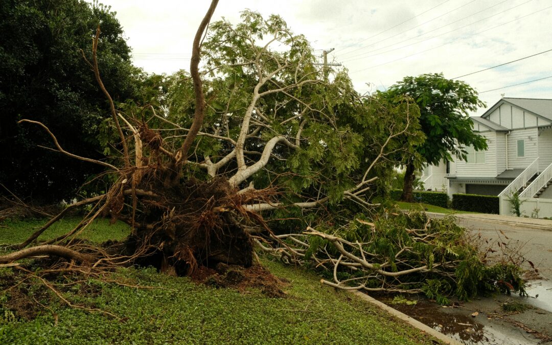
When did the storm hit? Why precise timing and location is critical in weather-related litigation
TL;DR:
- Precise storm timing and location form the cornerstone of weather-related litigation, anchoring causation, liability, and damage assessment.
- Forensic meteorologists stitch together minute-level data—from Preliminary Local Storm Reports to ASOS/METAR observations and radar timestamps—to build a legally defensible timeline.
- Courts demand verifiable, high-resolution weather evidence; even a few minutes or yards can sway admissibility and case outcomes.
What is forensic meteorology?
Forensic meteorology applies meteorological science to reconstruct past weather conditions for a specific time and place—often to resolve insurance disputes, personal injury claims, or property-damage lawsuits. Experts analyze a mosaic of data—surface observations, radar, satellite imagery, and eyewitness reports—to create a minute-by-minute narrative admissible under court standards.
Why does precise timing matter?
- Establishing causation: Proving that the storm, and not another factor, caused the damage or injury. A thunderstorm at 7:43 AM vs. 7:50 AM can confirm or refute a defendant’s timeline.
- Corroborating witness statements: Discrepancies between a claimant’s recollection (“It poured right before I slipped at 8:15 AM”) and instrument-based evidence can expose inaccuracies or validate testimony.
- Insurance coverage windows: Policies often define coverage based on “storm onset.” A storm logged at 11:59 PM on July 1 vs. 12:01 AM on July 2 may invoke different policy periods.
- Statute of limitations: Deadlines often run from the date of loss. A storm on December 31 at 11:58 PM vs. January 1 at 12:02 AM could affect whether a claim is timely.
How do we pinpoint storm arrival times?
- Preliminary Local Storm Reports (PLSRs): Issued in near–real time by NWS offices, recording hail sizes and wind gusts with minute-level timestamps.
- Final Storm Events Database: After quality control, NCEI publishes official, geocoded reports—serving as the “ground truth” for courts.
- Surface observations (ASOS/METAR): Automated stations log precipitation and wind data every minute, pinpointing exactly when rain began or winds peaked.
- Radar and satellite: Doppler radar scans (every 5–10 minutes) and satellite imagery help refine the arrival time of the storm aloft and its translation to surface impacts.
Case Study: Slip-and-Fall on Ice
In a wrongful-injury claim, an attorney alleged that a client slipped on untreated ice at 7:40 AM. ASOS data showed surface temperatures dropped below freezing at 7:02 AM, and PLSRs indicated light freezing drizzle began at 7:22 AM. By aligning these datasets, it was demonstrated that the hazard existed well before the claimed slip time, shifting liability considerations and leading to a favorable settlement.
Best Practices for Documenting Storm Timing
- Corroborate multiple data streams: Don’t rely on a single source. Cross-check PLSRs, ASOS/METAR, radar, and eyewitness accounts.
- Document data provenance: Maintain chain-of-custody logs and timestamp records for each dataset to withstand Daubert or Frye challenges.
- Quantify uncertainties: Report time-stamp accuracies (e.g., “±1 minute”) and spatial margins (e.g., “within 500 m”) to frame confidence intervals.
- Use geospatial mapping: Overlay storm tracks on GIS maps to visualize hazard progression relative to the incident location.
- Stay current on database revisions: Final storm event records can be updated; always check NCEI for revisions before report submission.
Frequently Asked Questions
How accurate are NWS storm-report times?
Preliminary Local Storm Reports typically log times to the nearest minute; final NCEI reports undergo review and may adjust times within a ±2-minute range.
What if local station data conflicts with PLSRs?
Weight each source by its reliability—automated stations often have higher temporal precision. Document discrepancies and include expert analysis of source reliability.
Can private weather-station data be used?
Yes. Video footage or ASOS data from private stations can corroborate official reports, but you must verify calibration standards and maintain robust metadata to ensure admissibility.
To contact and find a weather expert for a storm-related claim, you can find one here
You can also use the links below to help find specific weather-related information.
The author of this article is not an attorney. The article is meant to be a resource for meteorology. Contacting a qualified lawyer for legal matters is recommended if you need legal advice.