The National Hurricane Center (NHC) is monitoring a tropical wave in the central Caribbean Sea. While currently disorganized, this system has a greater than 50% chance of developing into a tropical depression or storm within the next seven days as it moves westward toward the Gulf of Mexico. Environmental conditions are expected to improve later this week, potentially allowing the system to strengthen.
Residents along the Eastern Gulf Coast and the Western Caribbean should remain alert and monitor updates as this situation evolves.
Key Factors Driving Development
- Sea Surface Temperatures (SSTs)
-The Gulf of Mexico is primed for tropical activity, with sea surface temperatures ranging from 27°C to 29°C (80°F to 84°F). These unseasonably warm waters can fuel storm intensification if the system enters the Gulf, providing ample energy for a potential tropical storm or hurricane. - Atmospheric Conditions
-Wind Shear: Currently moderate, wind shear is forecast to decrease later this week, which could allow the system to become more organized.
-Moisture Content: Increasing atmospheric moisture in the region supports storm formation and intensification.
Historical Context: November Storms
While tropical storms in November are relatively rare, they are not unprecedented. Notable examples include:
Hurricane Kate (1985): Formed in November and became the latest hurricane to make landfall in the U.S.
Tropical Storm Eta (2020): A complex storm brought heavy rainfall and flooding to Florida.
This year’s Atlantic hurricane season has already exceeded the seasonal average, with 17 named storms fueled by warmer than usual sea surface temperatures and conducive atmospheric conditions.
Potential Impacts
Regions at Risk
While forecast uncertainties remain, potential impact zones include:
Northern Gulf Coast: Northern and Eastern Gulf Coast areas need to watch this one very closely.
Hazards to Watch
-Storm Surge: Coastal flooding may occur if strong winds push water ashore.
-Heavy Rainfall: Flash flooding is possible, particularly in low lying areas.
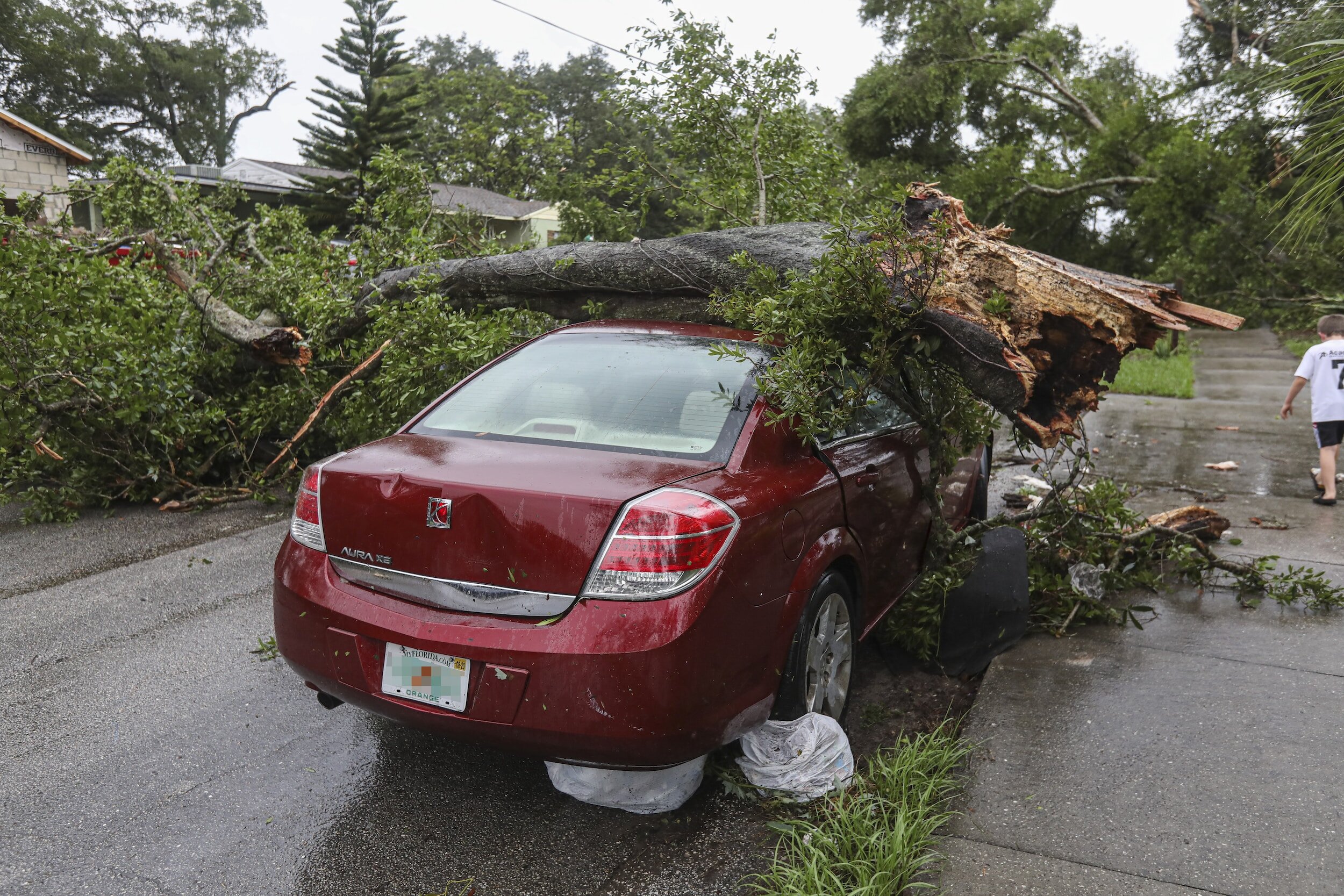
-Wind Damage: Strengthening could lead to damaging winds, impacting power lines, trees, and infrastructure.
Impacts on Marine and Energy Sectors
The Gulf of Mexico is home to critical oil and gas infrastructure. Offshore platforms may need to suspend operations temporarily if the storm poses a direct threat. Disruptions could lead to fluctuations in energy prices and marine traffic delays.
Preparedness and Safety Tips
For Residents in Potential Impact Areas
Stock Emergency Supplies: Include water, nonperishable food, medications, batteries, and first aid kits.
Secure Property: Tie down outdoor furniture and check shutters or stormproofing.
Review Evacuation Plans: Know your route and ensure your vehicle has enough fuel.
Resources for Realtime Updates
Visit the National Hurricane Center for official forecasts.
Download the FEMA App for alerts and evacuation notices.
Stay tuned to local emergency management offices for region specific guidance.
And almost but of course my blog here on Home – John Bryant
Visual Aids Forecast and tracking maps will be crucial for understanding the storm’s progression:
Access detailed projections via the NHC’s Tropical Cyclone Tracker.
Explore real-time satellite imagery from NOAA’s GOES satellites for updates on storm structure and movement.
Climate Considerations
This potential storm underscores broader climate trends. Warmer sea surface temperatures, and drastically different weather patterns this year, are extending tropical activity into November. While November storms are rare, changing climate patterns could make them more common in future hurricane seasons.
As this tropical wave evolves, preparedness remains the key to minimizing risk. Residents along the Gulf Coast should monitor official updates, review emergency plans, and take early precautions to ensure safety.
For more in depth meteorological insights or consulting services related to tropical systems, contact me today. Stay safe and stay informed!