
Understand Hurricane Impact and Validate Damage Claims
Hurricane damage claims often depend on understanding what conditions actually occurred at a specific location, including wind strength, rainfall intensity, and storm surge exposure. I provide detailed meteorological analysis to verify hurricane conditions and support insurance and legal claim evaluations.
About This Service
Hurricane Consulting for Insurance and Legal Clarity
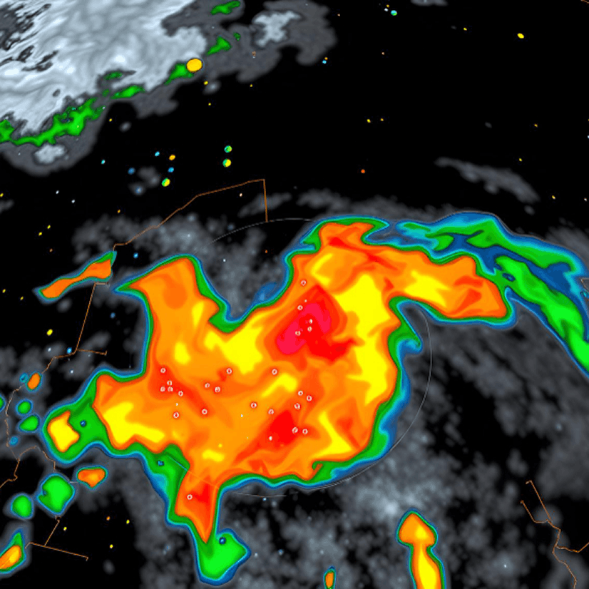
This service analyzes whether reported hurricane damage is consistent with verified storm conditions at the exact time and location of the event. Using hurricane tracks, radar data, satellite imagery, and surface observations, I reconstruct storm behaviour to determine wind exposure, rainfall intensity, and localized impact.
This helps answer a key question often raised in disputes: Does insurance cover hurricane damage based on the actual conditions that occurred at the site?
Why It Matters
Hurricane Damage Is Highly Location-Specific
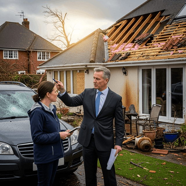
Hurricane damage assessments depend heavily on highly localized conditions that are often not captured accurately by general weather summaries or regional storm reports. Even within the same storm, wind speeds, rainfall intensity, and storm surge exposure can vary significantly from one location to another.
When insurance decisions rely on incomplete or non-site-specific data, it can lead to disputes about whether the damage truly aligns with hurricane activity or meets policy coverage thresholds. Accurate, location-based reconstruction ensures that decisions are grounded in verified meteorological evidence, helping clarify causation, reduce uncertainty, and support fair claim outcomes.
Core Service Areas

Hurricane track analysis
Reconstruction of the storm’s path, timing, and proximity to the affected location to determine when and how the hurricane influenced the site.

Wind exposure assessment
Detailed evaluation of wind speeds, gust intensity, and surface-level impacts at the exact location to determine structural stress and damage potential.

Rainfall intensity analysis
Measurement of precipitation rates and accumulation throughout the storm period to assess flooding risk and water-related damage exposure.

Site-specific flood intensity modeling
Reconstruction of localized flood behavior using verified environmental and hydrology datasets.
Case Types
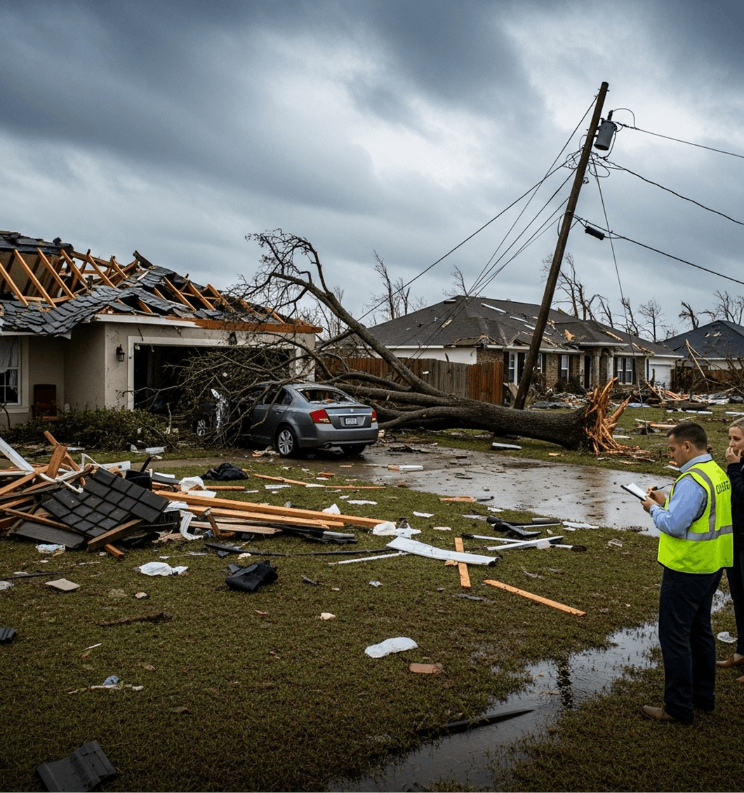
Hurricane property damage claims
Wind-related insurance disputes
Flooding and storm surge verification
Business interruption claims
Coastal infrastructure damage assessment
Coverage eligibility disputes
How It Works
1
Submit your request
Provide the location, timeframe, and context of your case, project, or operational need. No technical formatting is required.
2
Define scope & analyze data
I review the details and identify the appropriate datasets, methods, and analytical approach needed for your specific situation. Weather and environmental data are then processed, analyzed, or reconstructed based on the service type.
3
Deliver structured results
You receive a clear, defensible report or insight summary designed for legal, technical, operational, or planning use depending on your needs.
Why Work With John
-

Scientific precision with real-world application
All analysis is grounded in validated meteorological and environmental data to ensure accuracy and reliability across technical, legal, and operational contexts.
-
Clear and defensible insights
Complex weather and environmental data is translated into structured, easy-to-understand findings suitable for professional review and decision-making.
-
Certified expertise and credibility
Work is conducted under rigorous scientific standards, including Daubert-aligned methodology for forensic work and established meteorological best practices.
-
Independent and objective analysis
All conclusions are based strictly on data and established scientific methods, with no assumptions or external bias.


Lamont Matthews
Personal Injury/Weather-Related Vehicular Accident Case
John’s analysis and reconstruction of the precise weather conditions at the time and location of my accident were remarkable. His report detailed the type of precipitation, temperature, and ice conditions. His expert testimony and report made all the difference, helping me settle the dispute with my insurance company quickly.
New York Attorney
Slip-and-Fall Case
I recently worked with John Bryant of Weather and Climate Consulting, LLC, on a New York slip-and-fall matter in which the ‘Storm in Progress’ defense was the central issue. John’s analysis of NEXRAD radar and site-specific temperature trends was surgical. He pinpointed the exact minute precipitation ceased and tracked the freeze/thaw cycle with a level of precision I haven’t seen from larger national firms. His work provided the objective evidence we needed to establish the timing of the hazard. He is easy to work with, highly responsive, and very cost-effective. If you have a case where the “when” and “how” of ice formation are in question, he is your guy.
Satisfied Defense Attorney
Slip and Fall Case
His exhaustive analysis and ability to locate scarce, precise data were instrumental in dismantling the opposition’s claims. The evidence he provided to reconstruct the weather event was critical to securing a favorable settlement for my client.
Satisfied Personal Injury Attorney
Flash Flood Case
Through his meticulous analysis and reconstruction of weather patterns, John demonstrated the conditions at an isolated location despite what broad regional data showed. His customized report established that intense rainfall occurred at the site and helped bring a bit of justice to such a tragic incident.
FAQs
- How do you determine hurricane impact at a specific location?
By analyzing hurricane tracks, radar data, wind fields, and localized weather observations to reconstruct conditions at the exact site.
- Does insurance cover hurricane damage?
Coverage depends on policy terms and whether verified storm conditions meet defined thresholds such as wind speed, storm surge, or rainfall impact.
- Can hurricane conditions vary within the same city?
Yes. Hurricanes are highly variable systems, and wind or flooding impacts can differ significantly across short distances.