Can Airport Weather Observations Be Used as Evidence in a Lawsuit?
Last reviewed: May 2026 | Methodology current as of: May 2026
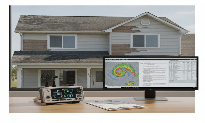
Airport weather records – METARs, ASOS data, and NCEI Local Climatological Data – are routinely submitted as litigation evidence and are court-accepted. They are not, however, automatically representative of conditions at an incident site. A forensic meteorologist evaluates distance, elevation, terrain, observation interval, and supporting data sources to determine whether airport records accurately describe conditions at the specific location and moment in dispute.
Case-Type Applicability
- Slip-and-fall (ice, frost, snow, wet pavement)
- Motor vehicle accidents (fog, ice, rain, snow, wind)
- Property damage (wind, hail, lightning)
- Construction delay and weather-damage disputes
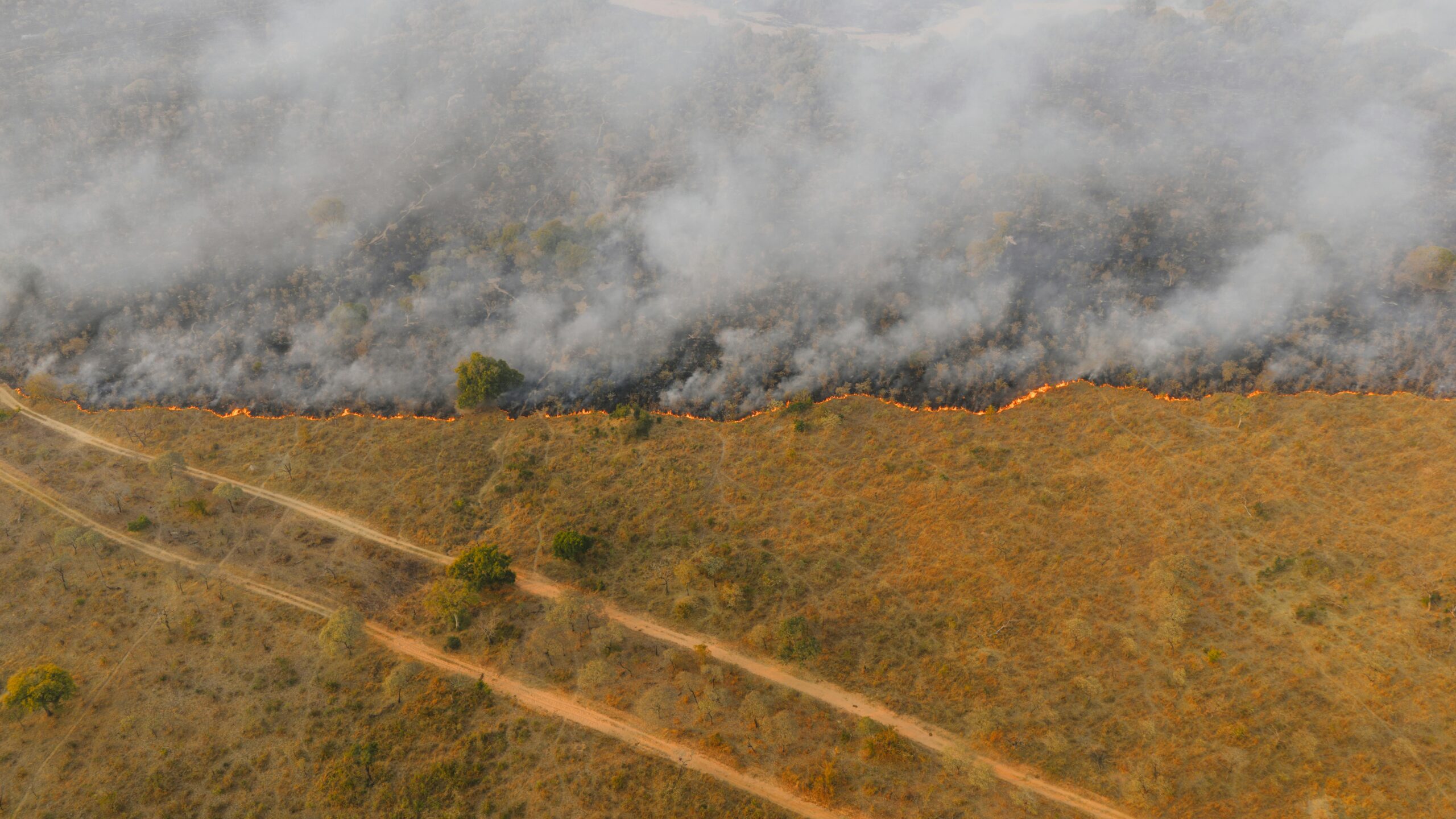
- Wildfire smoke and reduced-visibility claims
- Workers’ compensation (weather exposure on job sites)
- Insurance coverage disputes involving weather causation
John Bryant is an AMS- and EPA-certified forensic meteorologist and expert witness based in Memphis, Tennessee, specializing in weather reconstruction for slip-and-fall, wind, hail, wildfire, and ice-storm litigation. In my casework, airport weather records appear as exhibits in nearly every weather-related case I review. They are the first place attorneys look – and sometimes the only place. That becomes a problem when the airport sits five miles from the incident site, at a different elevation, in a different land-cover setting, or when its observation schedule fails to bracket the precise moment conditions changed.
| Issue | Why It Matters in Litigation | Key Limitation | Expert Review Needed? |
|---|---|---|---|
| Distance from incident site | Closer proximity generally increases representativeness | Temperature, fog, and precipitation can differ significantly within 1-3 miles | Yes – always |
| Observation interval | Determines how precisely data captures changing conditions | Standard METARs are hourly; conditions can change within minutes | Yes – critical for fast-changing events |
| Elevation differences | Near-freezing temperature can vary by 1-2 degrees F per 100 feet | Airport elevation may not match roadway or property elevation | Yes – essential in near-freezing cases |
| Urban vs. rural exposure | Heat island effect at airports can read warmer than nearby rural sites | A warmer airport reading may mask subfreezing conditions at the incident site | Yes |
| Wind exposure | Airports are sited in open terrain; winds may not represent sheltered or channeled settings | Structural damage disputes require terrain-specific wind analysis | Yes |
| Precipitation representativeness | Convective storms can produce precipitation at a site while the airport records nothing | Spotty, localized events are poorly captured by single-station data alone | Yes – NEXRAD corroboration required |
Why do attorneys rely on airport weather observations in litigation?
Airport weather records are the default starting point in most weather-related civil cases because they are official, federally archived, and court-accepted. METARs, ASOS data, and NCEI Local Climatological Data products carry government credibility and are easy to obtain. That makes them attractive to both sides in litigation – but familiarity with a data source is not the same as accuracy for a specific incident site.
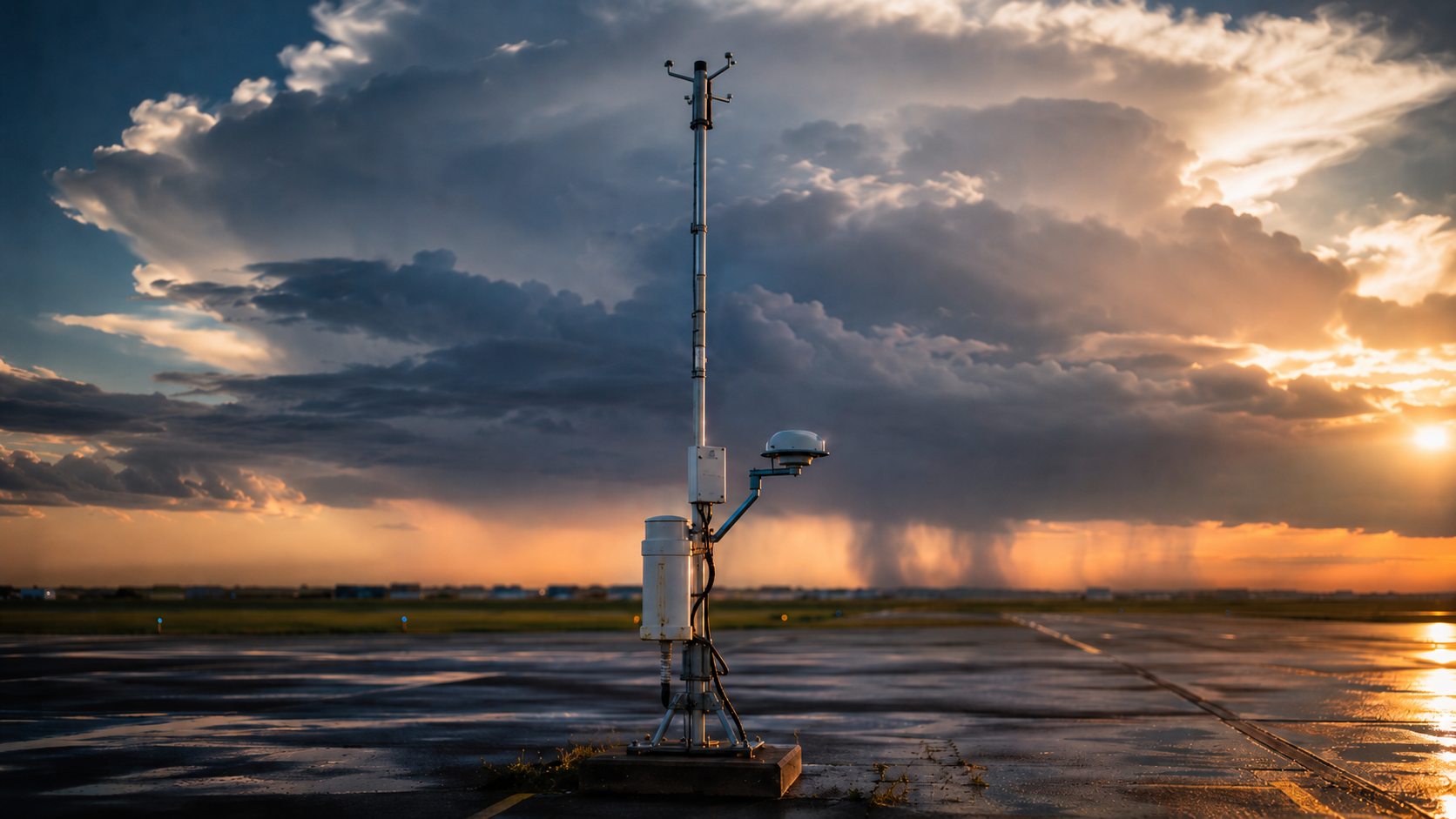
The primary observation networks are ASOS (Automated Surface Observing System), operated by the National Weather Service, and AWOS (Automated Weather Observing System), operated by the Federal Aviation Administration. Both generate aviation routine weather reports known as METARs, which are archived by NCEI and retrievable through the Applied Climate Information System (ACIS) and Local Climatological Data (LCD) publications.
A critical distinction that I flag in every analysis: ASOS sensors collect data on a one-minute sensing cycle, but standard METARs represent hourly archived summaries (NOAA/NWS ASOS User’s Guide, updated 2013). Those two facts must not be conflated. One-minute ASOS records – available through NCEI’s dedicated one-minute archive – can provide a finer temporal picture of conditions when timing is in dispute, and in appropriate cases I retrieve that data rather than relying solely on the hourly METAR.
In my practice, attorneys in slip-and-fall, motor vehicle accident, and property damage matters routinely attach airport METARs as exhibits without further analysis. The records are credible and courts accept them. The question I am asked to answer is whether those records actually represent conditions at the specific incident location – and answering that requires meteorological analysis, not just data retrieval.
Why can airport weather data give a misleading picture of conditions at the incident site?
Airport observations represent a single point in space at discrete moments in time. Extrapolating those readings to a location miles away, at a different elevation, in a different land-cover setting, or during a rapidly changing weather event introduces error that can be material to the outcome of expert analysis – and of litigation.
Distance. In my casework, incident sites are frequently two to eight miles from the nearest reporting station. In well-mixed atmospheric conditions, that separation may matter little. But near-freezing temperatures, during fog events, or at the onset of precipitation, small horizontal distances can correspond to significant differences in surface conditions. I have worked cases in the Memphis metro area where a liquid precipitation event at Memphis International Airport (KMEM) coincided with freezing drizzle and surface ice accretion at a commercial property less than six miles away, because pavement temperatures at the incident site were colder than the air temperature the airport sensor recorded.
Elevation. Dry adiabatic temperature change runs approximately 5.4 degrees F per 1,000 feet of elevation. In cases where the airport and the incident site sit at different elevations – even a 100- to 200-foot difference – near-freezing temperature comparisons require correction before they are defensible in expert testimony. This is particularly important in slip-and-fall cases involving black ice on elevated surfaces such as parking decks, bridges, or overpasses, where radiative cooling can drive pavement temperature below the airport’s reported air temperature.
Observation interval. Standard METARs are hourly snapshots. Special Observation (SPECI) reports are issued when conditions change rapidly – visibility drops, wind shifts significantly, precipitation intensity increases – but they appear less prominently in standard data requests and are often overlooked during discovery. In litigation involving the onset of freezing rain, the passage of a squall line, or the rapid formation or lifting of fog, the hourly record may not bracket the critical moment with sufficient resolution. One-minute ASOS data eliminates this ambiguity when it is available (NCEI One-Minute ASOS Archive, accessed May 2026).
Urban heat island and land cover. FAA siting requirements place airport sensors in open, unobstructed terrain. That exposure differs substantially from a city sidewalk, a shaded parking lot, a wooded rural road, or a concrete overpass that has been in shadow. On clear, calm nights, radiative cooling can drive pavement temperature at a shaded incident site below freezing even when the airport sensor, sitting in open terrain, reads 34 or 35 degrees F. This scenario is among the most common sources of contested expert opinions in black-ice and frost-related slip-and-fall cases.
Localized precipitation. Convective storms, lake-effect bands, and orographic precipitation enhancement can produce significant rainfall or snowfall at a specific location while the nearest airport sensor records nothing or records only trace amounts. I routinely cross-reference surface station data with NEXRAD Level II radar from the nearest WSR-88D site – KNQA, the Memphis-area NEXRAD, in most of my Mid-South cases – to confirm whether precipitation was occurring at the incident location independent of what any single surface station detected (NCEI NEXRAD Archive, accessed May 2026).
Where do airport observations fit in the evidence hierarchy for weather reconstruction?
Airport records are credible and court-accepted, but they are not the highest-resolution tier when site-specific conditions are in dispute. In my reconstruction methodology, I rank evidence from most site-specific to most general, and standard airport observations typically sit at tier three or four – useful corroborating context, but requiring support from radar, satellite, or finer-resolution surface data when the incident location differs meaningfully from the airport environment.
- On-site documentation – photographs, dashcam footage, surveillance video, maintenance records, or temperature loggers at the exact incident location and time
- Nearby official surface observations – ASOS or AWOS stations within 1-2 miles with comparable terrain exposure, elevation, and land cover to the incident site
- One-minute ASOS records – available through NCEI for events where high temporal resolution is material to the timing dispute
- Standard hourly METARs and SPECI reports – routine aviation weather reports archived by NCEI; SPECI reports are especially important when conditions changed rapidly
- NEXRAD radar products – Level II base reflectivity, velocity, and dual-polarization data for precipitation type, rate, and spatial extent at the incident location
- Satellite imagery – GOES-16 visible and infrared products for cloud cover verification, fog and low-stratus detection, and smoke extent
- Mesoscale model analyses – HRRR (High-Resolution Rapid Refresh) output at 3 km grid spacing for temperature, dew point, and surface condition reconstruction
- NWS operational products – Local Storm Reports (LSRs), Area Forecast Discussions, and zone forecasts as corroborating documentation of conditions at or near the incident time
Airport observations are most reliable when the station sits within 1-2 miles of the incident site at a similar elevation, with terrain exposure comparable to the incident location, and when the observation interval captures the period of interest. When those conditions are not met, the airport record requires corroboration or methodological adjustment before it can support a defensible site-specific opinion.
Which case types are most vulnerable to misapplication of airport weather data?
Near-freezing temperature events, fog and visibility disputes, localized precipitation claims, and wind damage cases are the highest-risk categories. In all four, the difference between what an airport sensor recorded and what conditions were at the incident location can be large enough to change the outcome of expert analysis entirely – and, by extension, the outcome of litigation.
Slip-and-fall ice cases. These are the highest-risk category for airport data misapplication. Pavement surface temperature can drop below 32 degrees F while the nearest airport air temperature reads 34 or 35 degrees F. This occurs when clear-sky radiative cooling drives pavement temperature below air temperature on surfaces unprotected by clouds, snow cover, or tree canopy. The operative variable in a black ice or frost case is not the airport’s air temperature – it is the pavement surface temperature at the incident location, which requires a surface energy balance analysis to reconstruct accurately.
Motor vehicle accident fog cases. Airport visibility sensors measure one point in space. Radiation fog commonly forms in low-lying terrain and valley floors while elevated or open terrain remains clear. An airport sited on higher ground may record unrestricted visibility while dense fog persists at a roadway in a nearby river valley or low-lying corridor. In my casework, I have used GOES-16 fog and low-stratus detection products to document dense fog at highway locations that the nearest ASOS reported as clear at the same time.
Wind damage disputes. Airport anemometers are placed in open terrain per FAA advisory circular requirements (FAA AC 150/5220-16E). A structure or tree at a different terrain exposure – a hilltop, a narrow gap channeling wind between buildings, or a windward coastal exposure – may have experienced substantially higher gusts than the airport recorded. For property damage cases, I use NEXRAD VAD wind profiles and nearby surface observations to bound site-specific wind estimates that the airport record alone cannot support.
Hail claims. ASOS precipitation sensors do not reliably detect hail. An insurance carrier or opposing party may cite the absence of hail in an ASOS record as evidence that no hail fell at a property – but ASOS is not a hail detection system. NEXRAD dual-polarization products, specifically correlation coefficient (CC) and differential reflectivity (ZDR), are the primary tools for determining hail occurrence, size, and location. This distinction is material in property damage litigation where the ASOS record is treated as a definitive weather record.
Construction delay and damage disputes. Contract language often designates official weather records as the reference standard for weather-delay claims. When the designated station is an airport ASOS, all of the limitations described above apply. I have reviewed disputes where a contractor experienced significant precipitation at the jobsite during a period the official airport record showed as clear, because a convective cell had produced localized rainfall at the construction site outside the airport’s precipitation footprint. NEXRAD data resolved the question the surface record could not.
What mistakes do attorneys make when using airport weather records without expert analysis?
The most consistent errors I see across case types are treating the nearest airport as automatically representative, relying on hourly METARs when one-minute records are available and relevant, and assuming that airport conditions at the hour of an incident translate directly to surface conditions at the specific location. Each of these errors is correctable with forensic meteorological review – but they need to be identified before expert reports are finalized.
Treating proximity as representativeness. The relevant question is not which airport is physically closest to the incident site but whether the airport’s observation environment matches the site’s terrain, elevation, and land cover. An airport two miles away in flat, open terrain is not automatically a better proxy for conditions at a shaded, low-lying roadway than a station six miles away in comparable terrain to the incident location.
Ignoring one-minute ASOS data. When the incident hour straddles two METARs, attorneys sometimes interpolate values or accept whichever record favors their client. One-minute ASOS data provides a continuous record throughout the hour and eliminates interpolation arguments entirely. I retrieve one-minute data from NCEI archives as standard practice when timing is disputed (NCEI One-Minute ASOS Archive, accessed May 2026).
Missing SPECI reports. When conditions deteriorate rapidly – visibility drops, precipitation intensifies, wind shifts significantly – ASOS systems issue Special Observation (SPECI) reports between scheduled METARs. These are archived by NCEI alongside routine reports but are easy to miss in standard data requests. A missing SPECI can mean an attorney overlooks the precise moment conditions became hazardous at or near the incident site.
Assuming “no precipitation reported” means dry pavement. Pavement can remain wet, icy, or frost-covered for hours after precipitation ends, or can develop frost through radiative cooling on a clear, calm night with no precipitation at all. An airport METAR showing clear skies and no precipitation at the time of a slip-and-fall does not establish that the pavement surface was dry. This is one of the most consequential misreads in slip-and-fall ice litigation.
UTC conversion errors. METARs are archived in Coordinated Universal Time. Converting to local standard or daylight time requires care. In Central Time Zone cases, the offset is minus 6 hours (CST) or minus 5 hours (CDT). I have reviewed opposing expert reports in which UTC-to-local conversion errors placed the relevant observation at the wrong hour, materially affecting the analysis.
How does a forensic meteorologist evaluate whether airport data is reliable for a specific case?
My evaluation starts with the incident location – its coordinates, elevation, surface type, terrain exposure, and surrounding land cover – not with the weather station. From there, I identify all surface observation stations within a defensible analysis radius, assess each station’s observational environment against the incident site, and retrieve the full available record including one-minute ASOS data, SPECI reports, and cross-validating sources.
For the selected station or stations, I retrieve hourly METARs, one-minute ASOS records where available, SPECI reports, and NOAA Storm Events Database entries for the date and geographic area (NCEI Storm Events Database, accessed May 2026). I cross-reference these with NEXRAD Level II data from the nearest WSR-88D – typically KNQA for Mid-South cases – to independently verify precipitation type and coverage at the incident location. For fog or low cloud cases, I consult GOES-16 satellite products. For temperature-sensitive cases, I apply surface energy balance methodology to estimate pavement or surface temperature at the incident location, accounting for prior thermal history, cloud cover, wind speed, and radiative conditions.
The output is an expert report that states, within reasonable meteorological certainty, what conditions were at the incident location at the time in question – and that explains clearly why the airport record does or does not support that conclusion. John Bryant is an AMS- and EPA-certified forensic meteorologist and expert witness based in Memphis, Tennessee, specializing in weather reconstruction for slip-and-fall, wind, hail, wildfire, and ice-storm litigation. Retaining a forensic meteorologist when airport observations are central to a case is the most reliable way to establish whether that evidence is sufficient on its own or requires supplementation and expert interpretation.
Methods and Sources
- NCEI Local Climatological Data (LCD), ASOS/AWOS station archives including KMEM (Memphis International Airport). National Centers for Environmental Information, accessed May 2026. Available: ncei.noaa.gov/products/land-based-station/local-climatological-data
- NCEI One-Minute ASOS Data Archive. National Centers for Environmental Information, accessed May 2026. Available: ncei.noaa.gov
- NCEI Storm Events Database (storm reports, NWS Local Storm Reports). National Centers for Environmental Information, accessed May 2026. Available: ncdc.noaa.gov/stormevents
- NEXRAD Level II WSR-88D radar archive, KNQA (Memphis, TN). Accessed via NCEI Weather and Climate Toolkit and Iowa Environmental Mesonet (IEM) radar archive, May 2026. Available: ncei.noaa.gov/products/radar
- NOAA GOES-16 fog and low-stratus satellite products. Accessed via NOAA GOES Image Viewer, May 2026.
- NOAA High-Resolution Rapid Refresh (HRRR) mesoscale model analyses, 3 km grid spacing. Accessed via NOAA NOMADS and HRRR retrospective archive, May 2026.
- NCEI Applied Climate Information System (ACIS), METAR and SPECI record retrieval, accessed May 2026. Available: rcc-acis.org
- NOAA/NWS ASOS User’s Guide (August 1998, updated 2013). National Weather Service. Governs ASOS siting requirements, sensor specifications, and one-minute versus hourly observation schedules.
- Federal Aviation Administration Advisory Circular AC 150/5220-16E, “Automated Weather Observing Systems for Non-Federal Applications.” FAA, 2017. Governs AWOS siting and sensor exposure standards.
- NWS Local Storm Reports (LSRs), applicable dates and Mid-South region. Accessed via Iowa Environmental Mesonet LSR archive, May 2026. Available: mesonet.agron.iastate.edu/lsr
- NOAA/NWS Area Forecast Discussions and Zone Forecast Products, Memphis WFO archives, accessed May 2026 via NWS Memphis (weather.gov/meg).
Retain a Forensic Meteorologist on Airport Weather Evidence
If airport weather records are being used to establish or challenge site-specific conditions in your case, independent forensic meteorological analysis can determine whether those records accurately represent the incident location. John Bryant provides expert reports and testimony for slip-and-fall, motor vehicle accident, property damage, and construction-delay matters.
This article is provided for informational purposes only and does not constitute legal advice. Weather reconstruction opinions are case-specific and depend on available data, site conditions, and the applicable standard of meteorological certainty.